

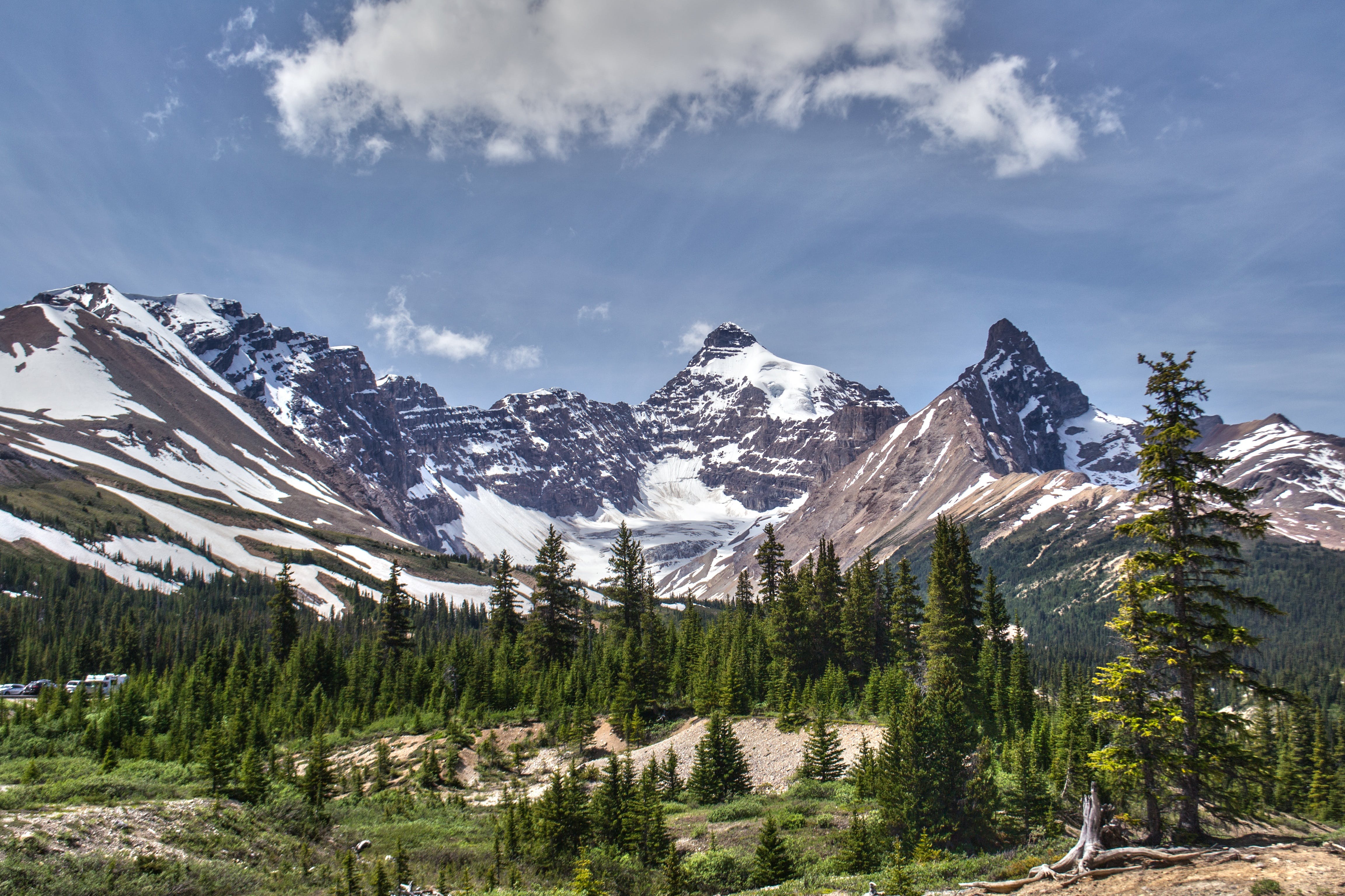
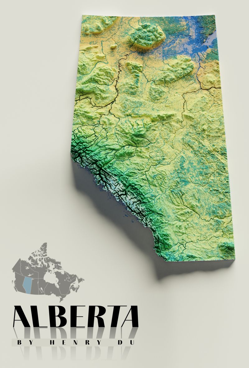
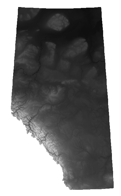
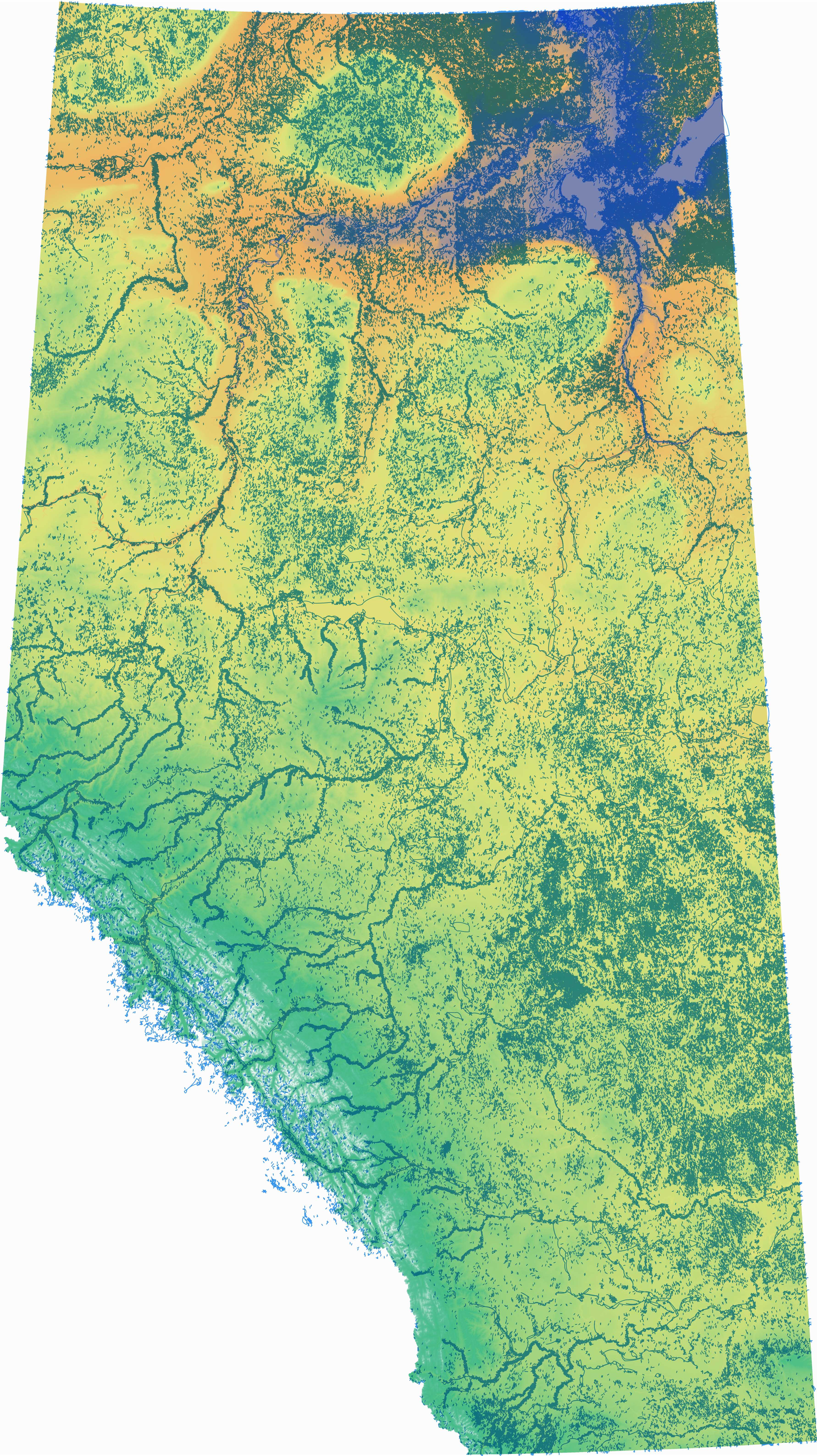
Employing the Blender Relief technique, I developed a rendered representation of Alberta's topography, strategically emphasizing its diverse landscapes. This undertaking highlights the transformative power of integrating technology, data, and artistic expertise to produce compelling visualizations. By bridging the domains of geographic data analysis, 3D modeling, and graphic design, I firmly advocate for the creation of maps that not only inform but also inspire viewers to recognize the awe-inspiring grandeur of Alberta's landscapes.
Please feel free to reach out to me using the contact form below. I am always eager to connect with potential clients, collaborators, or individuals interested in discussing my work. Let's explore how I can contribute my skills and expertise to your next project.